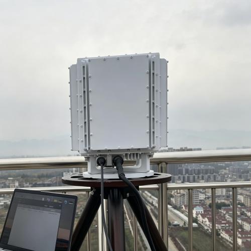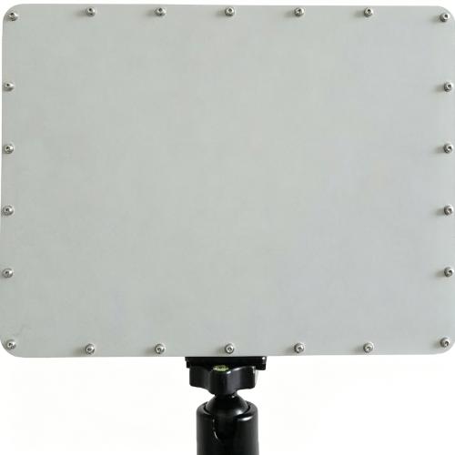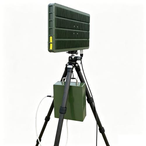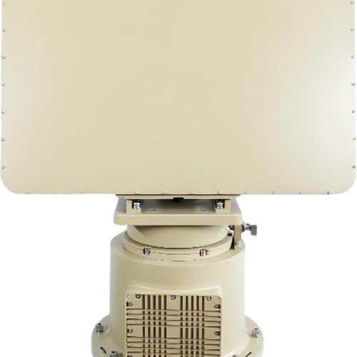
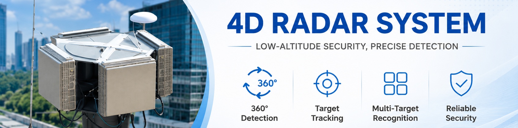

Low-altitude Surveillance Radar
Main Specifications
- Operating Frequency: X-band
- Working System: Two-dimensional phased scanning system
- Elevation Field of View: -2° to +45°
- Horizontal Field of View: 90° (single-sided array) / 360° (four-sided array)
- Detection Altitude: 1500 meters
- Range: 8 km
-
Detection Range:
- ≥5 km (small rotary-wing UAV, RCS=0.01 m², DJI Phantom 4)
- ≥8 km (medium fixed-wing UAV, RCS=1 m²)
- ≥8 km (personnel)
- ≥8 km (helicopters, vehicles)
- Azimuth Accuracy: ≤0.5° (RMS)
- Elevation Accuracy: ≤0.5° (RMS)
- Range Accuracy: 8 m (RMS)
- Blind Zone: 150 m
- Data Rate: 2.5s (TWS), 0.5s (TAS)
- Simultaneous Tracking Targets: TWS ≥ 300 batches; TAS = 2 batches per array face
- Detection Radial Speed Range: 1~150 m/s
- Clutter Rejection Capability: No false alarms caused by common clutter
- Power Consumption: ≤1600 W
- Power Supply: DC 36~52V (with AC220V-DC48V adapter)
- Communication Interface: Gigabit Ethernet navigation port
- Environmental Adaptability: Operating temperature -40~+55°C; protection grade IP66
- Weight: ≤100 Kg
- Single-sided Array Dimensions: 420×345×140 mm
Glossary
- TWS: Track While Scan
- TAS: Track And Scan
- RCS: Radar Cross Section
- RMS: Root Mean Square (a standard industry term for measurement accuracy)
AAAAAAAAAAAAAAAAAAAAAA
BBBBBBBBBBBBBB
cccccccc
Write your message here and send it to us